|
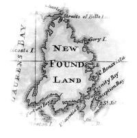
As time passed charts improved, but errors persisted, mostly due to an inability to accurately determine longitude. This problem was solved when chronometers became reliable and were slowly adopted in the late 1700's and early 1800's. The ability to keep accurate time was the key to measuring longitudinal distance. Back to the lesson |
 |